Category: Ideas

Category: Ideas

Westerplatte

Battle of Westerplatte

Westerplatte – updated 15 January 2023,

Westerplatte is a peninsula in the city of Gdańsk, Poland. It is significant because it was the site of the first battle of World War II, on September 1, 1939. A small detachment of Polish soldiers, numbering around 180, defended the peninsula against the German invasion for seven days, before being overwhelmed. The battle is considered a symbol of heroism and sacrifice for Poland. Today, the site is home to a museum and monument dedicated to the memory of the battle and the soldiers who fought there.
Monument

Danzig

During the aftermath of World War I and the reestablishment of Polish independence, much of the region surrounding Gdańsk became a part of the Second Polish Republic with the exception of Gdańsk itself, which became an independent city state.

Free city

At the time, Gdańsk was known as Danzig and was a historically important port city, which had a majority German population. The independent city state became known as the Free City of Danzig, which was nominally administered by the League of Nations but in reality, it became increasingly allied with Germany.
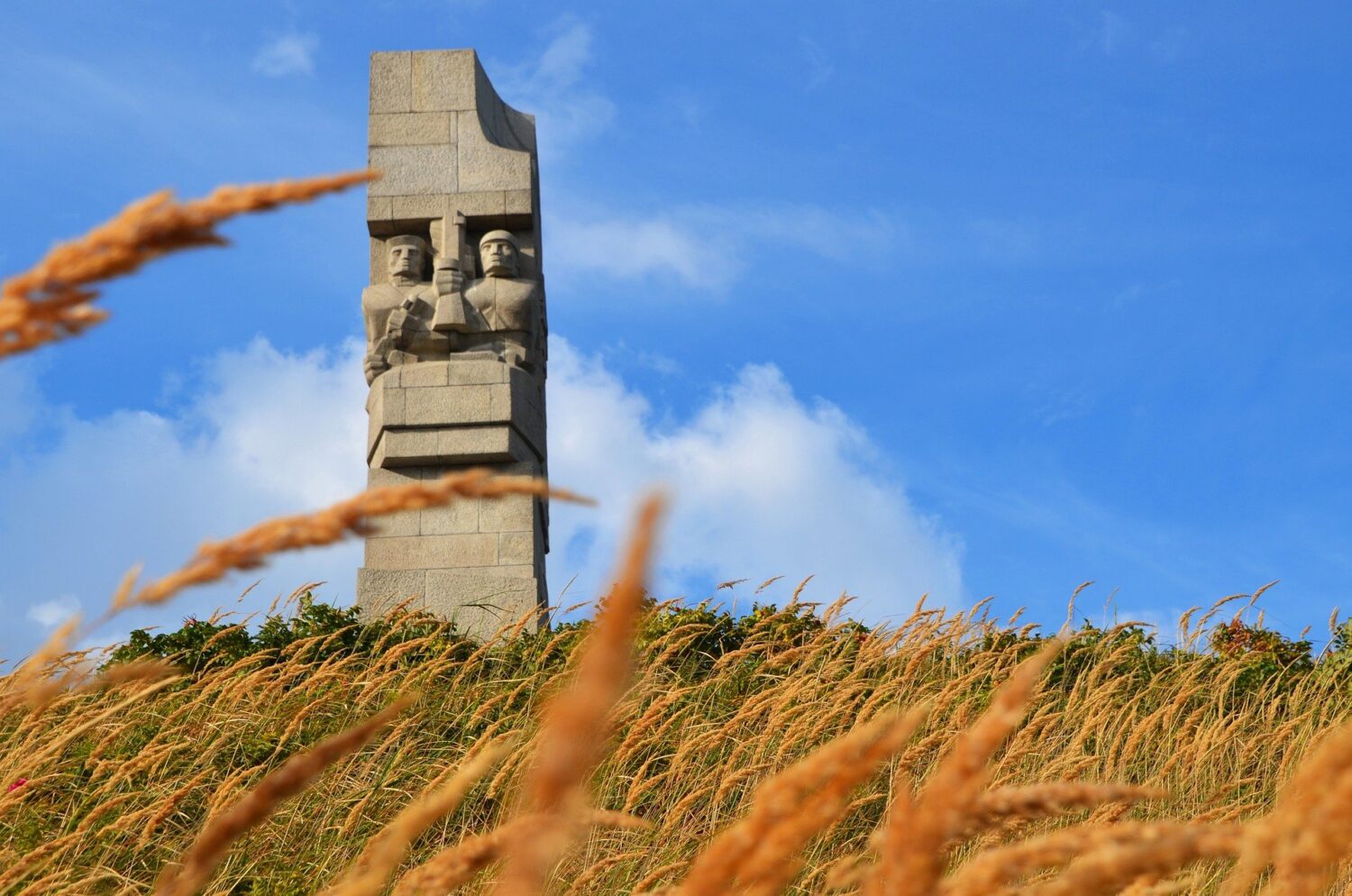
Westerplatte

League of Nations

In 1921, the League of Nations granted Poland the right to establish a garrison and ammunition depot close to the Free City. Despite some objections from the Free City, the depot was completed in November 1925 and became operational in January 1926. Westerplatte was the chosen location due to its separation from the port of the Free City by the harbour channel.

Permission to establish the garrison by the League of Nations came with a couple of caveats, namely: the garrison’s size could not exceed 88 soldiers and fortifications could not be constructed.
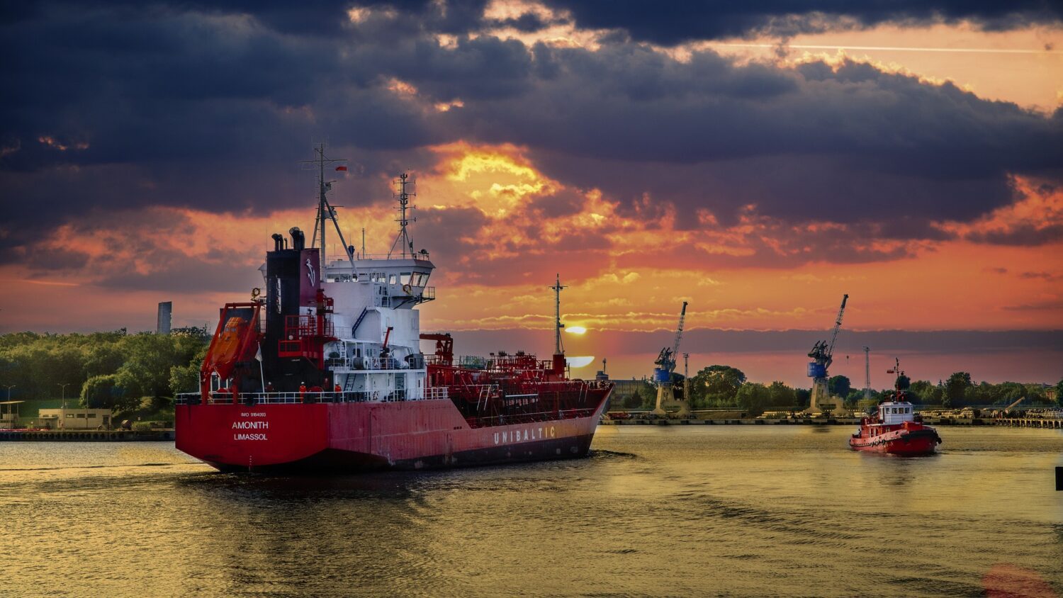
Westerplatte

Marine battalion

The establishment of the garrison and depot was always going to act as a tinderbox in the region with the Polish held part of the Westerplatte only separated from the territory of Danzig by a brick wall and relations became further inflamed on 6th March 1933 when the Polish government decided to land a marine battalion at Westerplatte briefly strengthening the garrison there to 200 soldiers.

The purpose of this was purely political in response to recent comments by German politicians about border adjustment and disagreement about management and control over harbour police.

The extra marines were withdrawn on 16th March after protests from the League of Nations, the Free City and Germany and some concessions were made in regard to control over the harbour police.

Fortifications

Over the following years, Poland disrespected the second caveat for establishing a garrison at Westerplatte by constructing some fortifications in the surrounding area. These were not very impressive defences, just five small concrete outposts, trenches, barricades and reinforced buildings. This all led to rising tensions between Poland and Germany and in the spring of 1939, the garrison at Westerplatte was placed on alert.

Invasion of Poland

Germany began its invasion of Poland by dropping bombs on the city of Wieluń in central Poland. Just a few minutes later, the battleship Schleswig-Holstein opened fire on the Polish garrison at Westerplatte. A land battle around the garrison followed between Polish defenders and German Marines.

Surrender

The Polish repelled two assaults that day using just small arms, mortar and machine-gun fire and over the next few days, they were subjected to multiple bombing raids from Junkers Ju 87 Stukas and shelling from naval and field artillery positions. Eventually on 7th September, the Polish soldiers had no choice but to surrender.

Museum

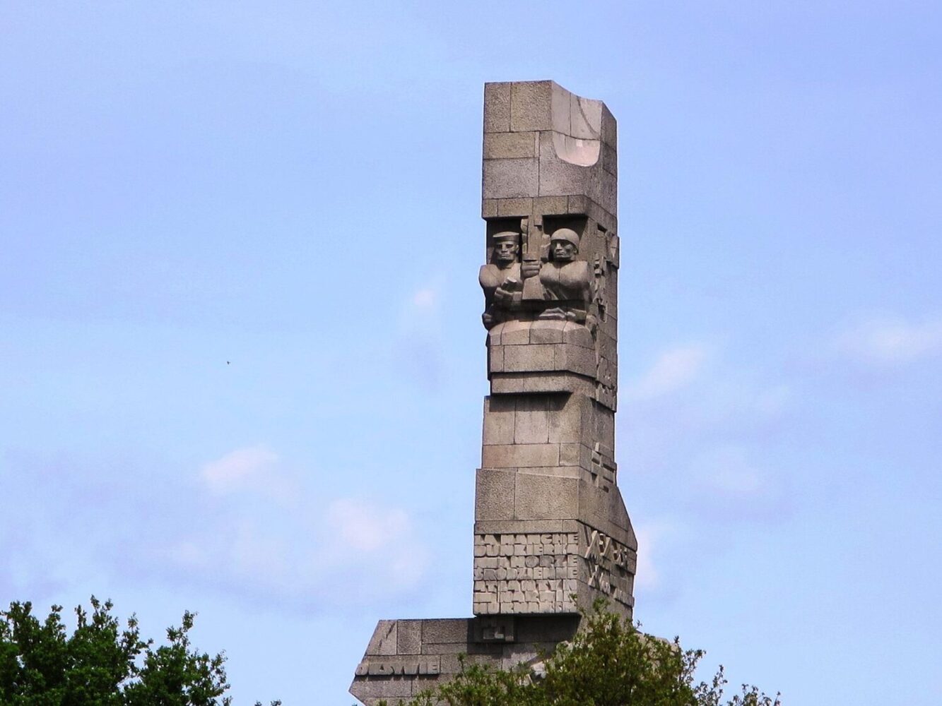
Today at Westerplatte, visitors can see the ruins of barracks and guardhouses; one of which has been turned into a museum. A Monument to the garrison defenders was unveiled in 1966.

FAQ

Q: What is Westerplatte?
A: It is a peninsula in the city of Gdańsk, Poland.

Q: Why is Westerplatte significant?
A: Westerplatte is significant because it was the site of the first battle of World War II, on September 1, 1939.

Q: What happened at Westerplatte?
A: On September 1, 1939, a small detachment of Polish soldiers, numbering around 180, defended the peninsula against the German invasion for seven days, before being overwhelmed.

Q: Is there a museum at Westerplatte?
A: Yes, there is a museum dedicated to the memory of the battle of Westerplatte and the soldiers who fought there.

Q: Is Westerplatte open to visitors?
A: Yes, it is open to visitors and is a popular tourist destination.
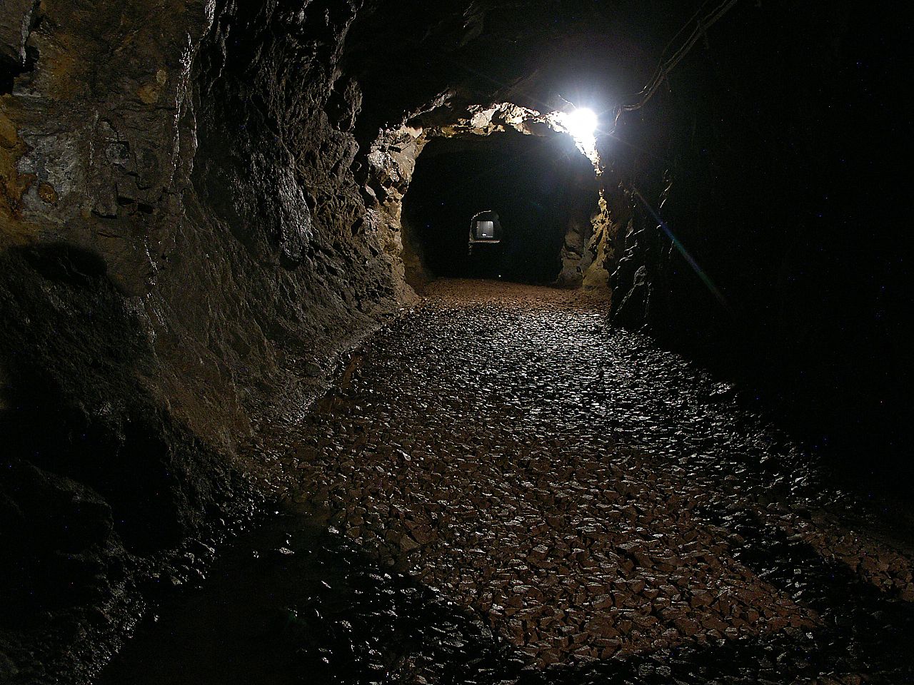
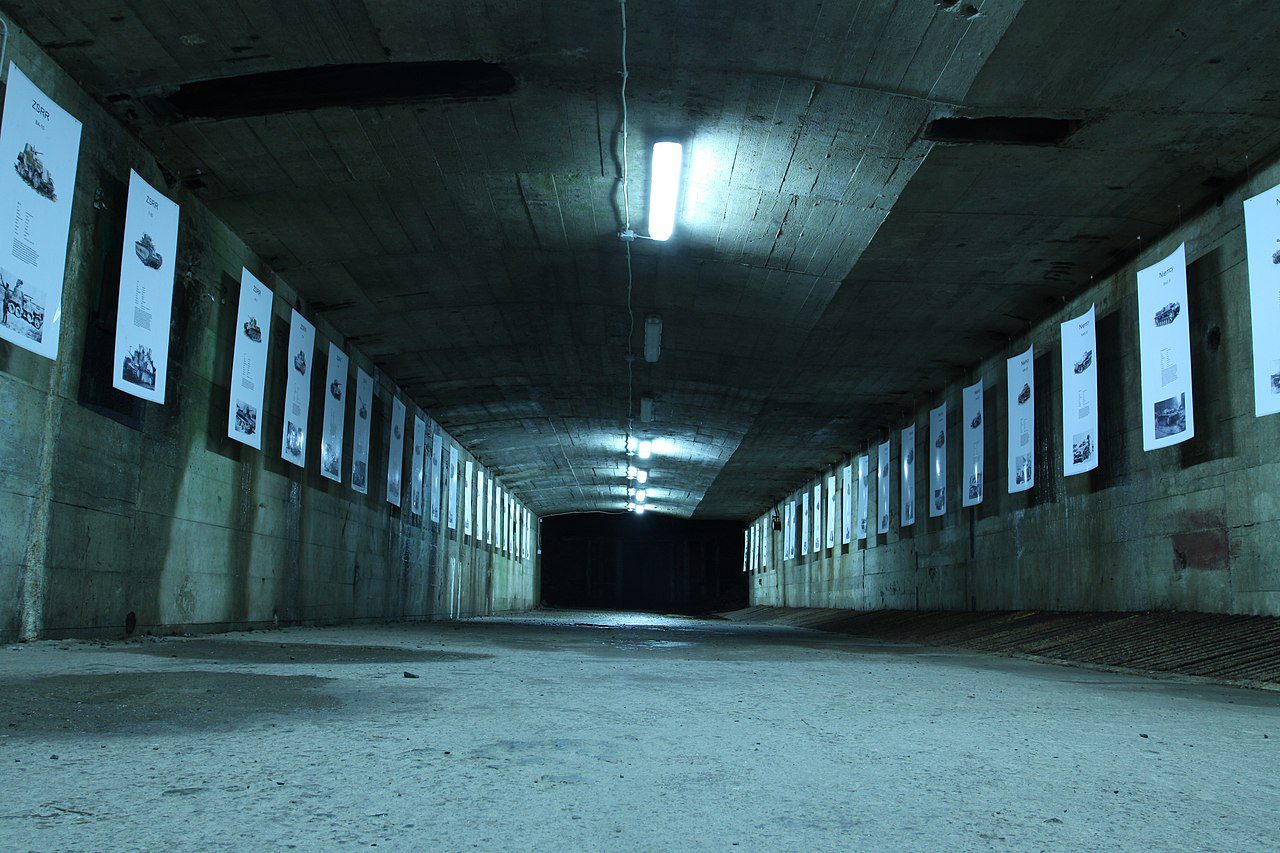
Tours & Experiences

Riese Complex

Project Riese

Riese Complex – updated 15 January 2023.

Project Riese (German for “Giant”) was a construction project undertaken by Nazi Germany during World War II in the Owl Mountains and Kłodzko Valley of occupied Poland. The exact purpose of the project is not known, but it is believed to have been a complex of underground facilities, including factories, research centers and military command centers. The project was named after the German word for “giant” because of the large scale of the construction.

Riese

Abandoned

The project was begun in 1943 and was never completed, as it was abandoned in 1945 as the war was coming to an end. The construction was carried out by prisoners of war and forced laborers, many of whom died during the course of the project.

Theories

There are many theories about the true purpose of Project Riese, some suggest that it was intended as an underground military command center, while others believe it was to be a factory for the production of advanced weapons or a research facility for developing new technologies. Some even suggest that it was intended as a secret underground city or a bunker for high-ranking Nazi officials. However, none of these theories has been conclusively proven, and the true purpose of Project Riese remains a mystery.

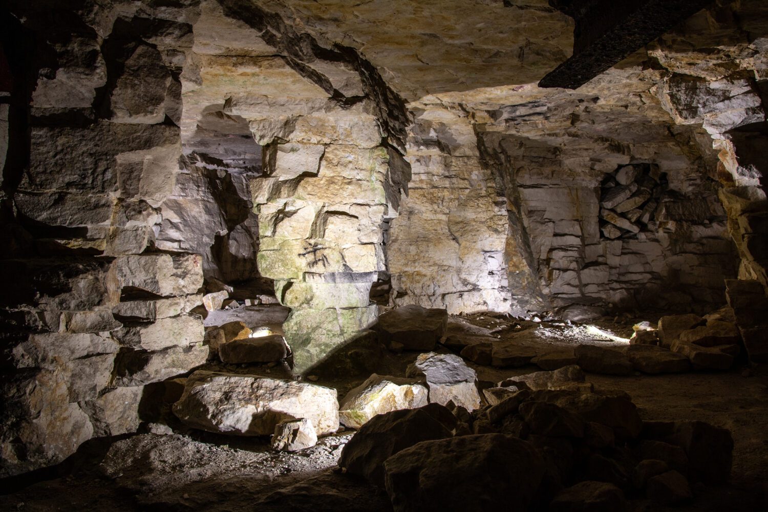
Two things are certain, the size of the project was immense and none of the constructions were finished. Only a few tunnels were reinforced with concrete. Project Riese was abandoned at the initial stage of construction and only 9 km (25,000 m2, 100,000 m3) of tunnels were dug out.

Tourist attraction

Today, some of the underground facilities are open to the public as tourist attractions and visitors can explore the tunnels and see the remains of the unfinished construction.

Riese

Construction

A massive network of roads, narrow gauge railways and bridges were constructed to connect excavation sites with the nearby railway stations. In total, some 90,000 cubic metres of tunnels were carved into the mountains, the work involved to do this was strenuous and involved cutting down thousands of trees, building dams, digging reservoirs and drainage ditches, blasting rocks with explosives and reinforcing caverns with concrete and steel.

Access points

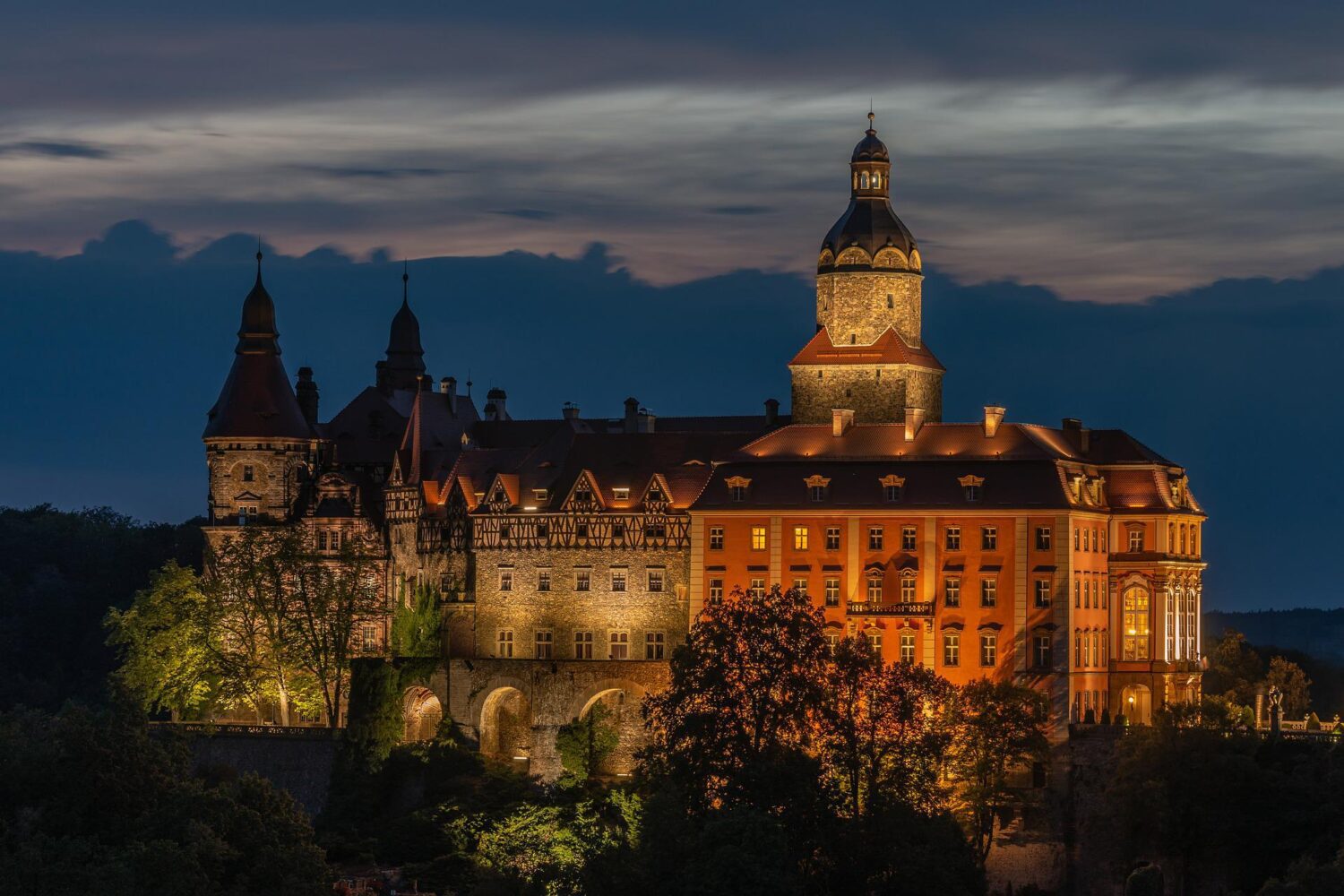
Seven major access points were constructed to separate tunnel systems at Walim-Rzeczka, Włodarz, Jugowice, Soboń, Sokolec, Osówka and Książ Castle.

Książ Castle

POW

To build these giant structures, the Nazis used prisoners of war, prisoners from concentration camps and forced labourers. Many of these workers lost their lives due to disease, malnutrition, exhaustion & dangerous underground works.

Typhus

Initially, concentration camp prisoners were not used; however a typhus epidemic occurred amongst the workforce in December 1943 significantly slowing down production. Hitler handed over supervision of construction to Organisation Todt, headed by Albert Speer, Hitler’s chief architect and engineer and around 13,000 prisoners of the camps were put to work, many conscripted from Auschwitz concentration camp.

Albert Speer

Interestingly, Albert Speer himself stated that the Riese Project involved some 213,000 cubic metres of tunnels. Today, less than 100,000 are accounted for, suggesting that there are many tunnels and parts of the project still to be discovered. This is technically supported by the existence of narrow-gauge railways and plumbing that appear to lead nowhere, witness accounts also support this account.

Amber Room

113,000 cubic metres of undiscovered tunnels and a lack of documentation as to the purpose of the project has led to numerous conspiracy theories over the years. The favourite is that the tunnels were constructed to hide confiscated Nazi treasure including the famous Amber Room which disappeared from Saint Petersburg and missing gold and art from multiple locations around Europe. An area outside Wałbrzych was the focus of a story about a buried 'Nazi gold train' in August 2015 and today, the areas still attracts treasure hunters in search of their fortunes.

FAQ

Q: When was Project Riese started?
A: Project Riese was started in 1943, during World War II, by Nazi Germany.

Q: Where is Project Riese located?
A: Project Riese is located in the Owl Mountains and Kłodzko Valley of occupied Poland.

Q: Who built Project Riese?
A: Project Riese was built by Nazi Germany, using prisoners of war and forced laborers.

Q: What was the purpose of Project Riese?
A: The exact purpose of Project Riese is not known, but it is believed to have been a complex of underground facilities, including factories, research centers, and military command centers.

Q: Was Project Riese completed?
A: No, the project was abandoned in 1945 as the war was coming to an end.

Q: Is Project Riese open to the public?
A: Some of the underground facilities are open to the public as tourist attractions and visitors can explore the tunnels and see the remains of the unfinished construction.

Tour to discover the secrets of World War II from Wroclaw

Tour to discover the secrets of World War II from Wroclaw

Let yout guide take you along the track of the biggest secrets of World War II in Lower Silesia. See The Osowka complex, which is a part of Nazi Riese Project and Gross-Rosen concentration camp.

The Osowka complex has been part of an impressive project conducted by Nazi Germany between 1943 and 1945 (code name “Riese”). The mysterious structure called “underground city” still hasn’t revealed all of its secrets. Discover the biggest and the most complex of Hitler’s headquarters in Lower Silesia. This complex is believed to be Adolf Hitler’s secret headquarters built in the Owl Mountains. This part of the tour is with live guide.

Ksiaz Castle is the third largest castle in Poland, placed on a impressive rock cliff by the side of the Pelcznica River. Surrounded by a charming forest which lays 395 meter above sea level, this castle is often called ‘the Pearl of Lower Silesia’. This part of the tour is with audio guide.

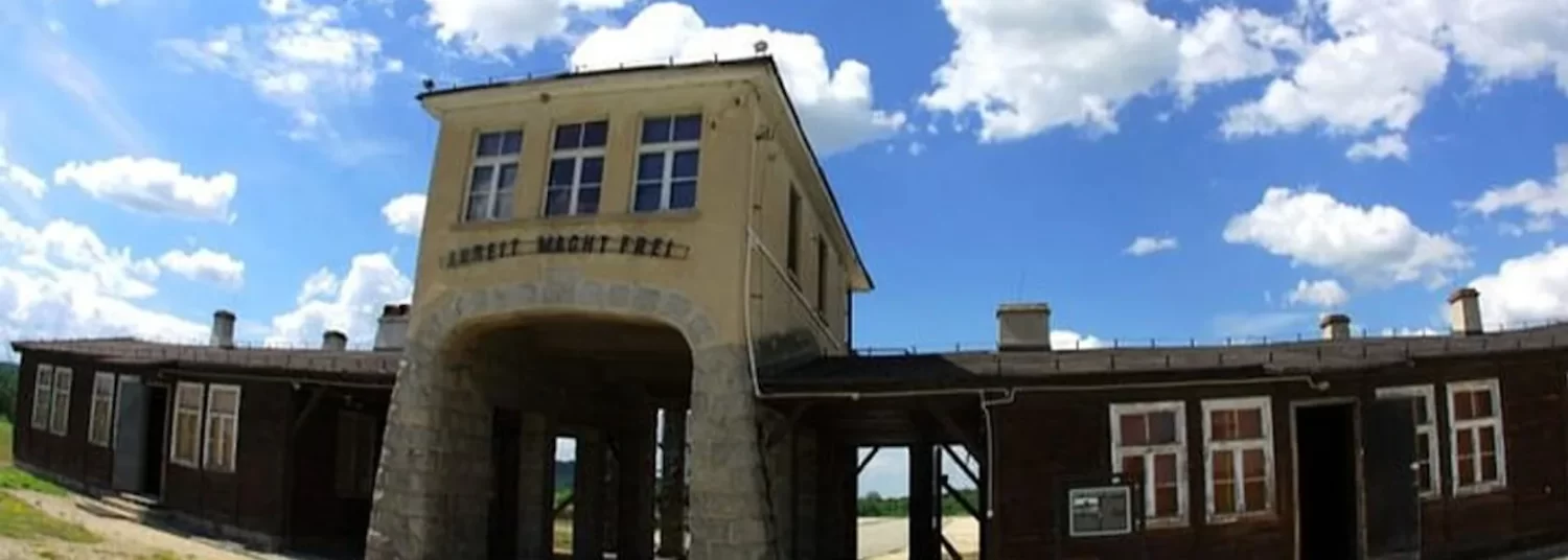
Lastly you will visit the Gross-Rosen concentration camp, the biggest Nazi-German concentration camp in Lower Silesia, where inmates worked in particularly harsh conditions in the quarries. The motto of this place was Vernichtung durch Arbeit (Annihilation through work). Around 40.000 prisoners died here: Poles, Jews, Russians, French and Hungarians. This part of the tour is with live guide – Book tickets

Majdanek Concentration Camp

Majdanek

Majdanek Camp – updated 15 January 2023.

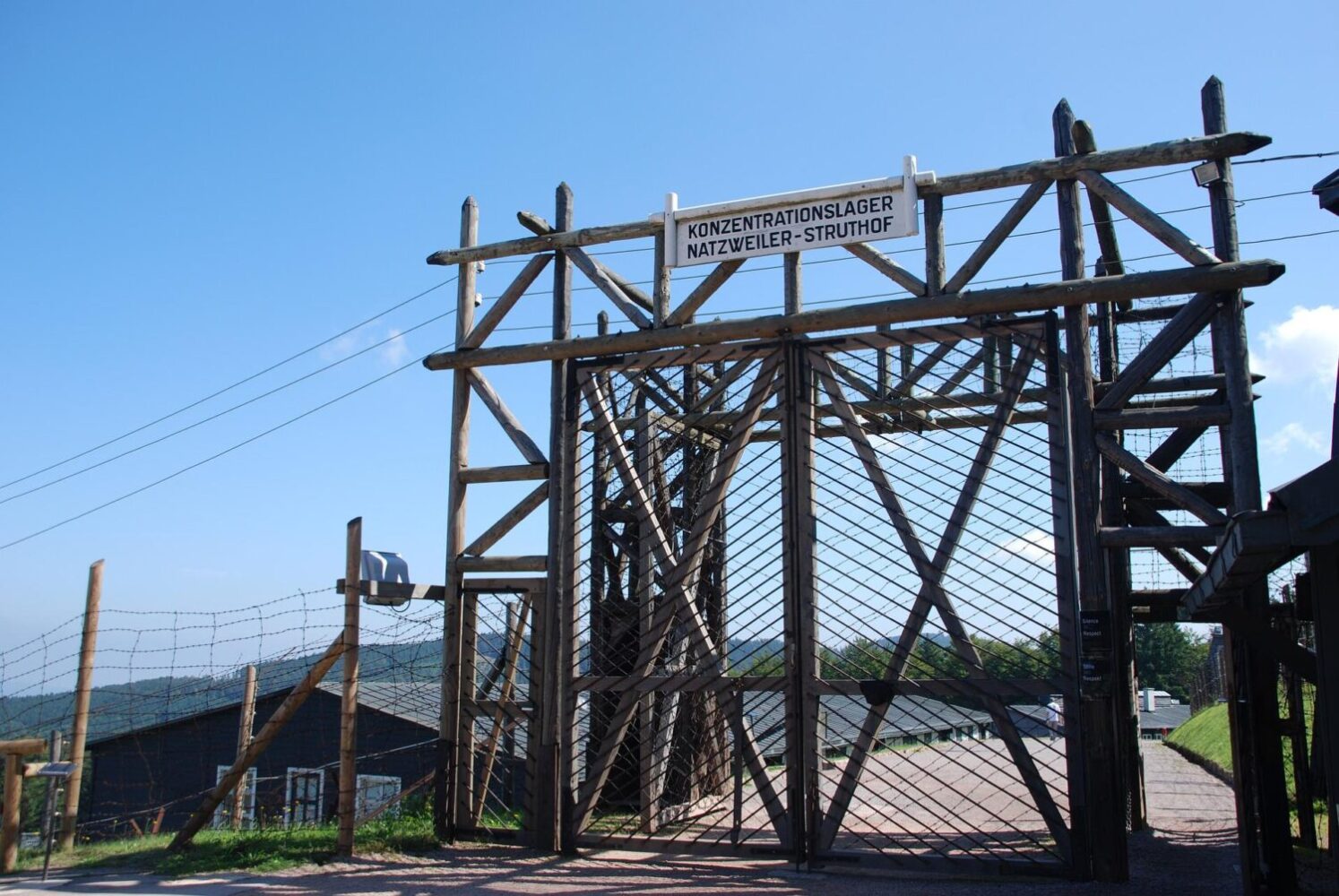
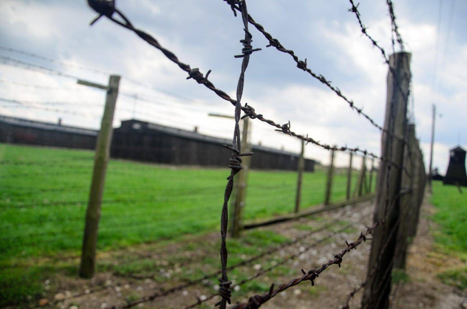
Majdanek was a Nazi German concentration and extermination camp built and operated during World War II by the SS near the Polish city of Lublin. The camp was established in October 1941 and was one of the first Nazi camps built specifically for the extermination of Jews, as well as other groups such as Romani, Polish intelligentsia and Soviet prisoners of war. The camp was also used as a forced-labor camp for prisoners.

Majdanek was one of the most deadly camps of the Holocaust, with an estimated 80,000 to 130,000 people killed there. The majority of those killed were Jews, but the camp also held a significant number of non-Jewish Polish and Soviet prisoners, as well as Romani and prisoners of other nationalities. The camp was liberated by the Soviet Red Army on July 23, 1944 and it is now a museum and memorial site open to the public.

Majdanek

Operation Reinhard

The camp was located on the outskirts of the city of Lublin and was initially intended for forced labour. It soon became part of Operation Reinhard, the secretive German plan to exterminate Polish Jews in the General Government district of German-occupied Poland.

Seven gas chambers

The 270-hectare camp was one of the largest of the Nazi run death camps with seven gas chambers, two wooden gallows and 227 structures. Unlike other camps, the camp was captured nearly intact due to the rapid advance of the Soviet Army, which did not allow the SS sufficient time to destroy the infrastructure and evidence of war crimes.

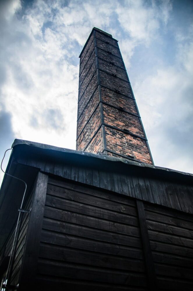
Crematorium

Heinrich Himmler

The concept for the camp originated with Heinrich Himmler who was Reichsführer of the SS and a leading architect of the Holocaust. Originally, the camp was used as a work camp housing prisoners from 30 different countries and Soviet prisoners of war. The conditions at the camp were horrific, of the 150,000 people who were imprisoned in Majdanek, 80,000 died, including 60,000 Jews. Many succumbed to disease, starvation and the forced labour.

Sorting and storage depot

During the beginning of Operation Reinhard, the camp was re-purposed as a sorting and storage depot for property and valuables stolen from the victims at the death camps of Belzec, Sobibor, and Treblinka. The gas chambers were added to the camp in September 1942; at which time, Majdanek began to function as a killing centre.

Majdanek

Victims

The official estimation of the number of victims of Majdanek is 78,000 of those 59,000 were Jews.

In July 1969, on the 25th anniversary of its liberation, a large monument was constructed at the site. It consists of two parts: a large gate monument at the camp’s entrance and a large mausoleum holding ashes of the victims at its opposite end.

FAQ

Q: When was Majdanek Concentration Camp established?
A: The camp was established in October 1941 by the SS during World War II.

Q: Where is Majdanek Concentration Camp located?
A: It is located near the Polish city of Lublin.

Q: Who operated Majdanek Concentration Camp?
A: The camp was operated by the SS (Schutzstaffel) during World War II.

Q: How many people were killed at Majdanek Concentration Camp?
A: An estimated 80,000 to 130,000 people were killed at Majdanek Concentration Camp. The majority of those killed were Jews, but the camp also held a significant number of non-Jewish Polish and Soviet prisoners, as well as Romani and prisoners of other nationalities.

Q: When was Majdanek Concentration Camp liberated?
A: It was liberated by the Soviet Red Army on July 23, 1944.

Q: Is Majdanek Concentration Camp open to the public?
A: Yes, the camp is open to the public as a museum and memorial site. Visitors can tour the camp and learn about the history of the Holocaust and the atrocities committed at Majdanek Concentration Camp.

Visit the Majdanek website.

Wolf’s Lair

Wolfsschanze

Wolf’s Lair – updated 15 January 2023.

The Wolf’s Lair (German: Wolfsschanze) was a top secret Nazi German military headquarters located in the Masurian woods in north-eastern Poland. It was built for Adolf Hitler and his top military staff during the Second World War. The complex consisted of more than 50 buildings, including bunkers, barracks, and various other structures. It was in operation from 1941 to 1944 and was the site of several key meetings and conferences, including the famous July 20, 1944 attempt on Hitler’s life, known as Operation Valkyrie.

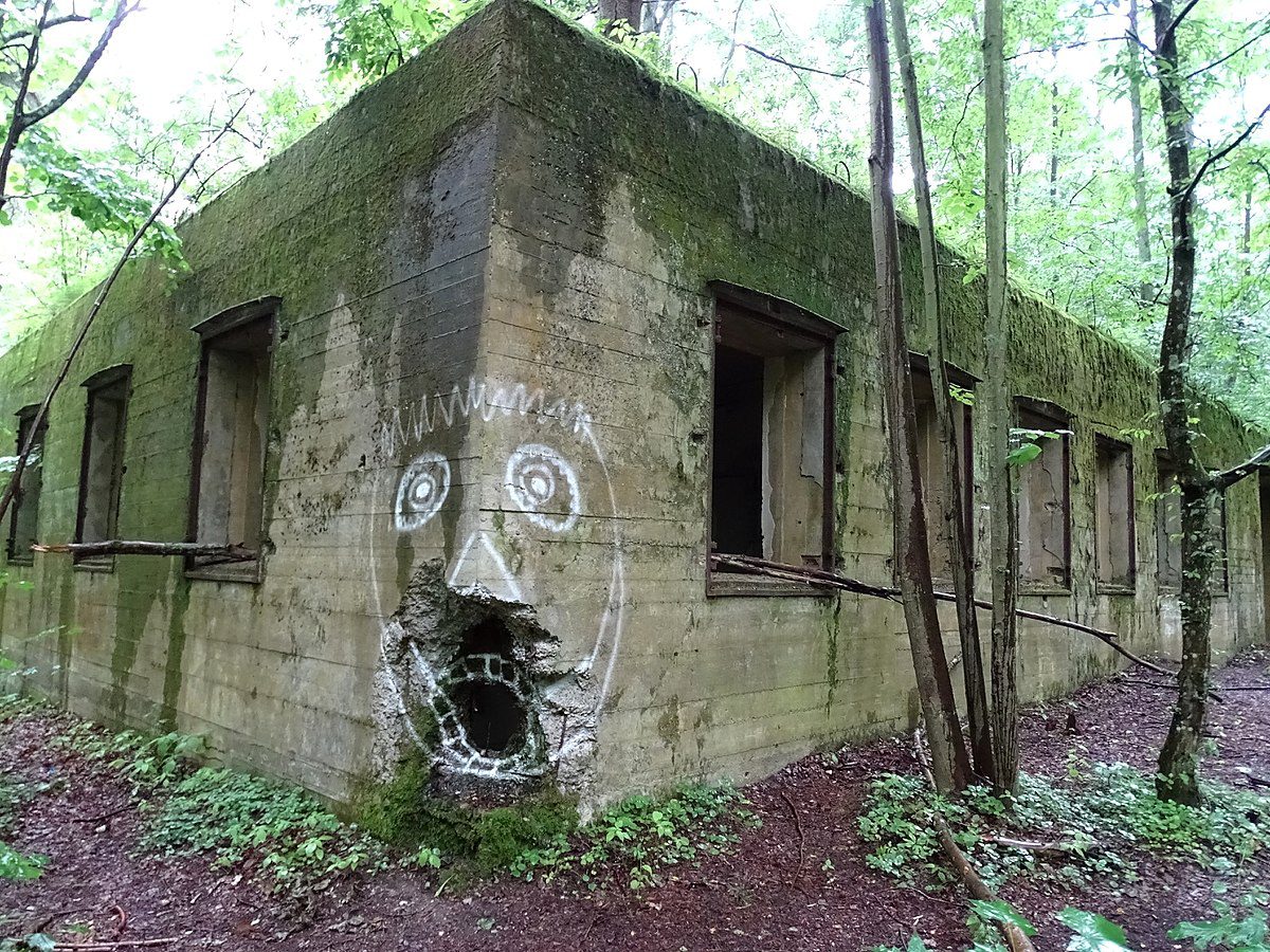
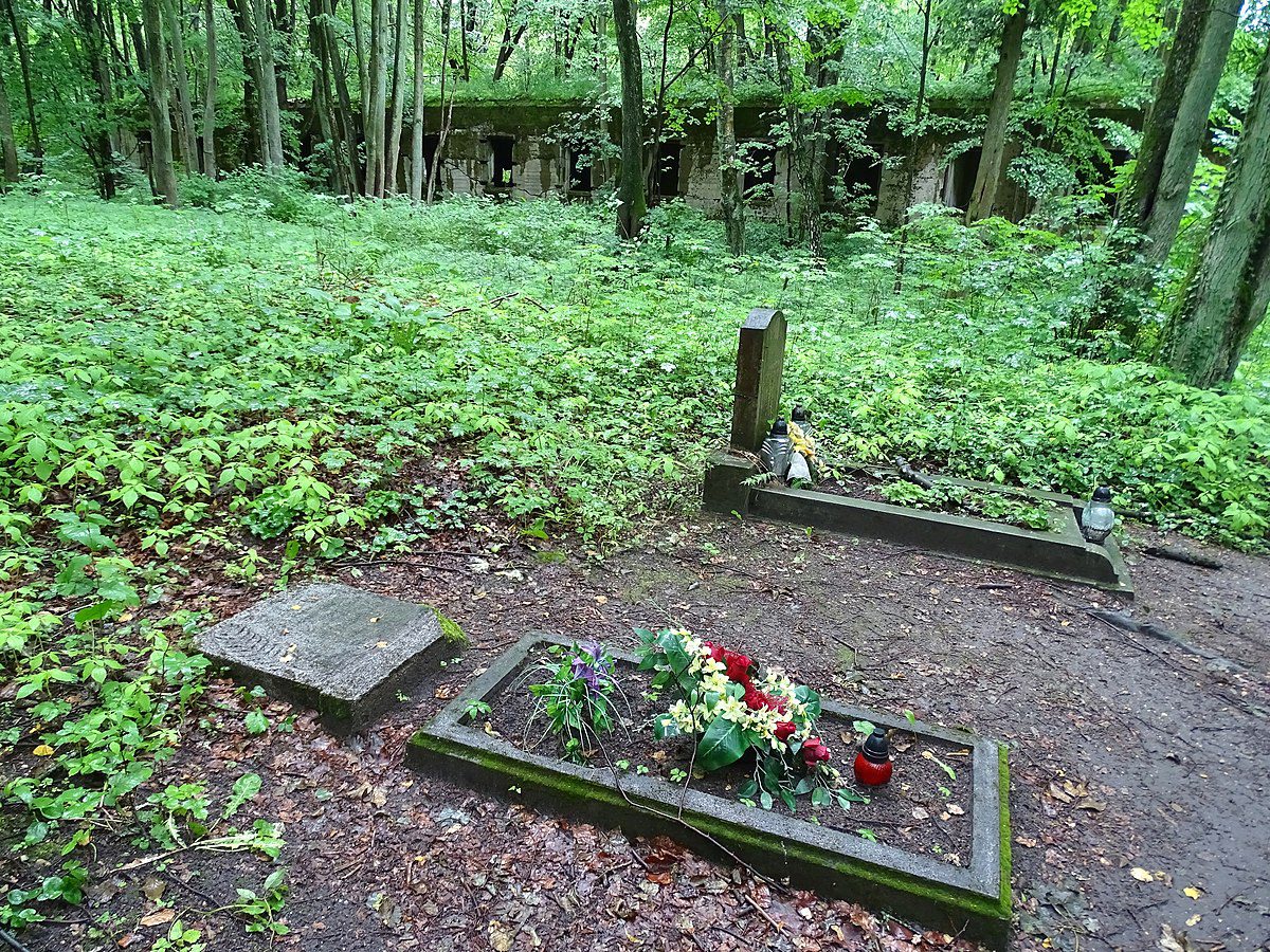
Today, little remains of the complex, but some of the bunkers and foundations can still be seen.

Wolf’s Lair

Bunkers

Today Wolf’s Lair is 18 hectares of huge, overgrown and partly destroyed bunkers. During World War II, it was a top-secret, high security site surrounded by three security zones and guarded by personnel from the SS-Begleitkommando des Führers, Reichssicherheitsdienst and the Wehrmacht’s armoured Führerbegleitbrigade.

3,000 German labourers

Wolf’s Lair was an impressive feat of engineering with a remote location carefully chosen far away from typical aerial bombing targets such as transport routes and towns. 3,000 German labourers were involved in its construction consisting of 80 structures. These included seven bombproof bunkers for the top leaders of the Third Reich with walls and ceiling up to 8m thick.

Wolf’s Lair

3 security zones

The decision to build Wolf’s Lair was made in the autumn of 1940. Built in the middle of a protecting forest and located far from major roads. The complex occupied more than 6.5 km2 (2.5 sq. mi) and consisted of three separate security zones.

Sperrkreis 1

The most important of which was Sperrkreis 1 (Security Zone 1), in which was located the Führer Bunker and concrete shelters of members of the inner circle such as Hermann Göring, Martin Bormann, OKW chief Wilhelm Keitel and “chief of operations” OKW Alfred Jodl.

There was a total of ten bunkers in this area, all camouflaged and protected by 2 metres (6 ft 7 in) of steel-reinforced concrete. Hitlers was on the northern end, with all its windows facing north to avoid direct sunlight. Both Hitler’s and Keitel’s bunkers had rooms in which military conferences could be held.

Sperrkreis 2

Sperrkreis 2 (Security Zone 2) included military barracks and housing for several important Reich Ministers like Albert Speer, Joachim von Ribbentrop and Fritz Todt as well as Hitler’s escort battalion, the Führer Begleit Brigade.

Sperrkreis 3

Sperrkreis 3 (Security Zone 3) made up the outer security area of the compound, complete with land mines, special security troops and guard houses.

Nearby airfield

Close by was a facility for the Wehrmacht Operations Staff, and army headquarters was located several kilometres to the northeast of the FHQ complex. All these installations were served by a nearby airfield and train lines.

About two thousand people lived and worked at Wolf’s Lair at its peak, among them twenty women.

Security

The security around the bunkers was impressive and included barbed wire barriers, gun emplacements and minefields in addition to some of Hitler’s most war-hardened troops. The camp included an emergency airstrip and a backup airfield 5km away to allow the Nazi Elite a quick exit if the need ever arose. The natural camouflage of the forest was further enhanced with artificial vegetation-like screens suspended on wires and changed according to the season of the year. The Allies did not discover Wolf’s Lair until 1945.

Hitler

Hitler spent a long time in Wolf’s Lair. He arrived on 26th June 1941 and stayed there until 20th November 1944 with only short trips away.

Wolfsschanze

Having survived an assassination attempt within the complex in July 1944, Hitler left Wolf’s Lair as the Soviet Red Army approached a few months later.

Assassination attempts at Wolf’s Lair

The Wolf’s Lair was the location of the July 20 plot to kill Hitler. During the period of reconstruction of the Führer Bunker in the summer of 1944, the daily strategy meetings were moved to the little building known as the Lager barrack, where staff officer Claus von Stauffenberg carried a bomb hidden in a briefcase into the meeting room and placed it just a few feet away from Hitler.

At 12:43 p.m. the bomb devastated the interior of the building but left Hitler only slightly injured. However, four others died from their wounds a few days later. The force of the blast was diminished because a staff officer unknowingly moved the briefcase on the opposite side of a thick wooden table leg from where von Stauffenberg had placed it, probably saving Hitler’s life. It is believed that had the bomb exploded in the massive concrete Führer Bunker as originally intended, everyone in the structure including Hitler would have been killed.

The Escape

Just moments before the blast, the would-be assassin and his adjutant, Lieutenant Werner von Haeften rapidly made their way from the conference barrack toward the first guard post just outside Sperrkeis 1. After a short delay they were allowed to pass and proceeded along the southern exit road toward Rastenburg airport.

By the time they reached the guard house at the perimeter of Sperrkreis 2, the alarm had been sounded. According to the official Gestapo report, “at first the guard refused passage until von Stauffenberg persuaded him to contact the adjutant to the compound commander who then finally authorized clearance”. It was between here and the final checkpoint of Sperrkreis 3 that von Haeften tossed a second briefcase from the car containing a second bomb which was also intended to explode in the conference barrack.

It is believed that had this bomb also been placed with the other, everyone inside would have been killed. Checkpoint three, the final barrier located at the outer reaches of the Wolf’s Lair, was expected to prove impenetrable, but the two men were simply waved through to the Rastenburg airport.

Operation Valkyrie

Thirty minutes after the bomb blast the two men were airborne and, on their way, back to Berlin and Army general headquarters. It was in this building, called the Bendlerblock, that “Operation Valkyrie”, a covert plan to react to the breakdown in civil order of the nation and suppress any revolt was transformed into the secret plot to assassinate the Führer of the German Reich.

However, when it was discovered that Hitler was still alive, the plan was doomed and along with it von Stauffenberg, his adjutant Werner von Haeften and co-conspirators General Friedrich Olbricht and his chief of staff Colonel Albrecht Mertz von Quirnheim, who were arrested and executed in the courtyard of the Bendlerblock on the evening of July 20, 1944.

Red Army

The Wolf’s Lair complex was blown up on the 24 January 1945, just three days before the Red Army arrived. Many tons of explosives were required to do the job; one bunker required an estimated 8 tons of TNT. The minefield protecting the now ruined bunkers was still active with approximately 55,000 mines and it took 10 years to make the complex safe.

Wolfsschanze

What to see

There’s not a lot to see nowadays, but with a little imagination and a site map or tour guide, you will be able to get a flavour of what life must have been like at Wolf’s Lair. The structures of the complex are conveniently numbered so that you can quickly ascertain what purpose they served. Number 13 is Adolf Hitler’s bunker, which is now just one wall but Göring’s home, number 16 is in surprisingly good condition.

FAQ

Q: What is the Wolf’s Lair?
A: The Wolf’s Lair (German: Wolfsschanze) was a top secret Nazi German military headquarters located in the Masurian woods in northeastern Poland. It was built for Adolf Hitler and his top military staff during the Second World War.

Q: What was the purpose of the Wolf’s Lair?
A: It was built as a top secret military headquarters for Adolf Hitler and his top military staff during the Second World War. It was the site of several key meetings and conferences, including the famous July 20, 1944 attempt on Hitler’s life, known as Operation Valkyrie.

Q: When was the Wolf’s Lair in operation?
A: It was in operation from 1941 to 1944.

Q: Can visitors tour the Wolf’s Lair today?
A: It is possible to visit today, but there is little left of the original complex and much of it is in ruins. Some of the bunkers and foundations can still be seen.

Visit the Wolf’s Lair website.

Treblinka Concentration Camp

Treblinka Extermination Camp

Treblinka – updated 15 January 2023.

Treblinka was an extermination camp, built and operated by Nazi Germany in occupied Poland during World War II. Together with the camps at Bełżec and Sobibor, the camp operated as part of Operation Reinhard, the deadliest phase of the Final Solution, so called in memory of Reinhard Heydrich, a high-ranking German SS and police official during the Nazi era and one of the main architects of the Holocaust.

The camp was established in 1942 as part of the “Final Solution,” the Nazi plan to exterminate the Jewish population of Europe.

Treblinka

Location

The camp was located in a forest north-east of Warsaw, 4km south of the village of Treblinka in what is now the Masovian Voivodeship.

Murder

Treblinka operated between 23 July 1942 and 19 October 1943 and during this time, it is estimated that 900,000 to 1,200,000 people were murdered there. More Jews were killed at Treblinka than at any other Nazi extermination camp apart from Auschwitz-Birkenau.

Death camp

Treblinka was designed to be a death camp, with the sole purpose of murdering as many people as efficiently as possible. The camp was operated by the SS (Schutzstaffel) and a large number of prisoners were killed in gas chambers using the pesticide Zyklon B.

Extermination camp

Three parts

The camp was divided into three parts and was a highly efficient death factory. One part of the camp was for the use of staff and housed workshops, another part was set aside as a reception area for prisoners and the third part was the extermination area.

The pipe

A narrow alley known as the ‘pipe’ connected the reception area with the extermination area allowing for quick transportation of prisoners to the gas chambers. The extermination area also contained mass graves and woodpiles for the cremation of prisoners.

Concentration camp

Immediate execution

Unlike other extermination camps, prisoners at Treblinka were murdered almost immediately upon arrival at the camp. There was no tattooing, no huts, no wooden bunks and no forced labour. People went straight to the gas chambers as soon as they alighted from their transport.

Additional gas chambers

Initially, there were three gas chambers at the camp with the capacity to asphyxiate 300-500 people per hour. Ten much bigger gas chambers were added in September 1942 increasing the capacity to between 1000-2000 people per hour.

Prisoners

Prisoners arrived in the village of Treblinka by transport trains, each with forty to fifty trucks carrying 6,000 to 7,000 people. From there, they were transported to the camp 4km away by convoys of trucks. On arrival at the camp, men were separated from the women and children and were forced to strip naked.

They were then driven down the, ‘pipe’ into the, ‘bath house’ where they died of gas poisoning within about 15 minutes.

Bodies

The bodies were initially buried in mass graves but later were cremated on the orders of Heinrich Himmler who was already thinking about how to cover up the genocide. This was also required of the victims that had already been buried, and so the mass graves had to be opened and the bodies burned. The remains and the ash were thrown back into the graves.

Goldjuden

The clothes and items left by the victims in the deportation barracks before the ‘shower’ were sorted. Gradually, bankers and goldsmiths were selected from the transports and formed into a commando called the Goldjuden – Gold Jews. Their job was to collect and classify any valuables, which were then vigorously traded by Germans, Ukrainians and the local population.

Warsaw Ghetto

The first transports to the camp came from the Warsaw ghetto. Between the 23rd of July and the 21st of August 1942, a total of 254,000 Jews from Warsaw and 112,000 from other parts of the Warsaw region were murdered here.

Red Army

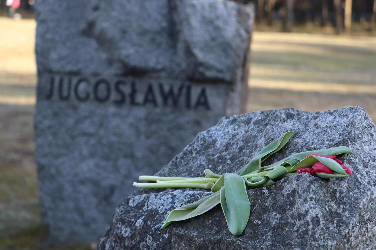
Treblinka was one of the deadliest of the Holocaust extermination camps, with a death rate estimated to be around 99.7%. The camp was closed down in 1943, as the Soviet Red Army approached, and the SS destroyed much of the camp in an attempt to conceal the evidence of the mass murder that had taken place there. Today, Treblinka is a memorial and museum, with a monument and several mass graves marking the site of the camp.

FAQ

Q: When was Treblinka Concentration Camp established?
A: The camp was established in 1942, during World War II, as part of the “Final Solution,” the Nazi plan to exterminate the Jewish population of Europe.

Q: Where is Treblinka Concentration Camp located?
A: It is located in occupied Poland, near the village of Treblinka, about 70 km (43 mi) northeast of Warsaw.

Q: Who operated Treblinka Concentration Camp?
A: It was operated by the SS (Schutzstaffel) during World War II.

Q: How many people were killed at Treblinka Concentration Camp?
A: An estimated 900,000 to 1,200,000 people, mostly Jews, were killed at the camp during its operation from 1942 to 1943.

Q: When was Treblinka Concentration Camp liberated?
A: It was closed down in 1943, as the Soviet Red Army approached, and the SS destroyed much of the camp in an attempt to conceal the evidence of the mass murder that had taken place there.

Q: Is Treblinka Concentration Camp open to the public?
A: Today, Treblinka is a memorial and museum, with a monument and several mass graves marking the site of the camp. The site is open to the public for visits and to pay respects to the victims of the Holocaust.

Treblinka Tours

Treblinka Concentration Camp

What to expect from this tour

Visit the museum and memorial to World War II in Treblinka, the second-biggest Nazi extermination camp.

Start your tour at the south end of the Warsaw Ghetto, where now the Palace of Culture and Science is. There, with your guide, you will see the memorial to Janusz Korczak, an educator, children-author and pedagogue, who went to Treblinka with his child students. Next, head for the Umschlagplatz, where Warsaw Jews were selected and loaded on the trains to the camp.

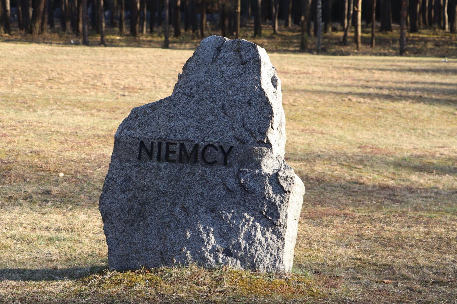
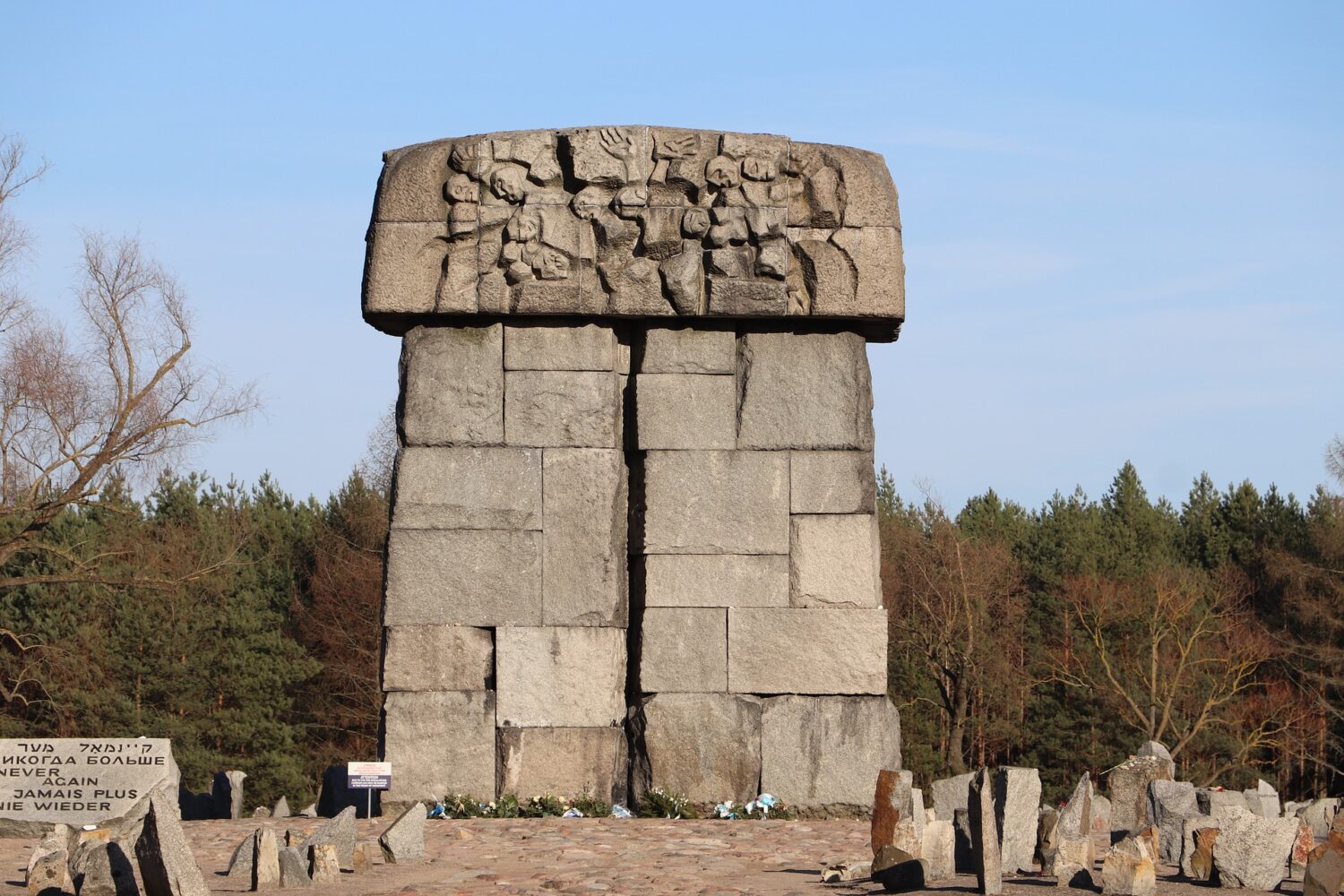
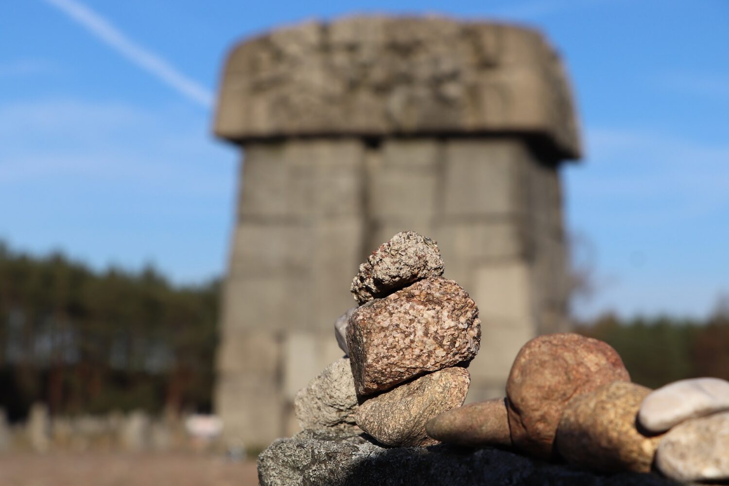
Afterwards, head for Treblinka commemoration place. There, in the middle of the forest, visit a museum with a miniature model of the camp and watch moving testimonies of some of the camp survivors. Next, following the symbolic train tracks, you walk towards the impressive Treblinka memorial. Made of over 17,000 stones, the monument commemorates over 700,000 victims of the extermination camp. Learn dire stories of transportation of the European Jews to this camp and find out more about the revolt that took place in Treblinka in the summer of 1943. After the time of contemplation at the Treblinka memorial, you return to Warsaw, to the original starting point.

Krzemionki Flint Mining Region

Krzemionki

Krzemionki – updated 13 January 2023.

The Krzemionki Flint Mining Region is a UNESCO World Heritage site located in southern Poland, near the city of Ostrowiec Świętokrzyski. The site is composed of a series of prehistoric flint mines that were in use from the Neolithic period to the Bronze Age. The flint mines at Krzemionki are considered to be some of the oldest known mines in the world.

Krzemionki is a complex of banded (striped) flint mines, which were in operation during the Neolithic and Early Bronze Ages (3,900-1,600 BC), and have been preserved in an almost intact state.

The Krzemionki Flint Mining Region is an important archaeological site and has provided valuable insights into the social and economic organization of prehistoric societies. The site also has significant historical and cultural value, as it is one of the few surviving examples of prehistoric mining in Europe.

Krzemionki

Striped flint

The Krzemionki mines are located in the mountain region of Świętokrzyskie. The mining complex is composed of over 200 underground mine shafts and galleries, as well as surface mining areas. The mines were used to extract flint, a hard and durable stone that was used to make tools and weapons. Products from the mines have been found as far away as 660km.

The flint mines at Krzemionki were unique because of the large-scale and organized nature of the mining operations, as well as the advanced mining techniques that were used.

Professor Jan Samsonowicz

The Krzemionki mines were discovered in 1922 by a Polish geologist, Professor Jan Samsonowicz. His discovery was significant, Krzemionki is one of the most comprehensive prehistoric underground flint extraction and processing systems identified to date with underground mining structures, flint workshops and around 4,000 shafts and pits.

Krzemionki

UNESCO

The site was designated as a Polish historic monument on 16th October 1994 and inscribed as a UNESCO World Heritage Site on 6th July 2019. The mines provide invaluable information about life and work in prehistoric settlements and the importance of flint mining for tool production in bygone days.

Krzemionki

Tourist route

Small groups of tourists have visited the Krzemionki mines since the late 1950s but they were only available to large groups of visitors since 1985 when Tourist Route No. 1 was made available. A second underground route was opened in 1990 followed by an open-air archaeological museum in 1992.

Visitors to the Krzemionki Flint Mining Region can see the remains of the mines and learn about the history and archaeology of the site through guided tours, educational programs and exhibitions.

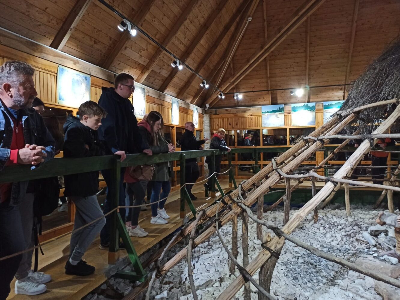
The tourist route in Krzemionki is approx. 1.5 km long and presents the original excavations of Neolithic mines, mining heaps and shaft pits that make up the unique industrial landscape from 5,000 years ago.

The underground tourist route in its present form is 465m long, descending 11.5 m at the deepest point.

Krzemionki is located 8km north-east of Ostrowiec Świętokrzyski , between the villages of Sudół and Magonie. You can get there by car (route number 754) or by bus from the centre of Ostrowiec Świętokrzyski.

FAQ

Krzemionki Flint Mining Region is an important archaeological site located in southern Poland that contains the remains of prehistoric flint mines. Here are some frequently asked questions about the Krzemionki Flint Mining Region:

Q: How old is the Krzemionki Flint Mining Region?

A: The Mining Region is believed to have been in use during the Neolithic period, which is around 6000-4000 BC.

Q: What is the significance of the Region?

A: The Flint Mining Region is an important archaeological site that provides insight into the lives and technology of prehistoric communities. The flint mines at Krzemionki were used to extract high-quality flint, which was a valuable resource for making tools and weapons. The flint mines are also considered as an ancient example of industrial scale mining and organized labor.

Q: What can be seen at Krzemionki Flint Mining Region?

A: Visitors to the Flint Mining Region can see the remains of prehistoric flint mines, including underground mining galleries and surface mining pits. There are also reconstructions of the ancient mining technology and information boards that explain the significance of the site.

Q: Is Krzemionki Flint Mining Region a UNESCO World Heritage Site?

A: Yes, Krzemionki Flint Mining Region is a UNESCO World Heritage Site, added to the list in 2017.

Q: How to get there?

A: Krzemionki Flint Mining Region is located in the city of Ostrowiec Świętokrzyski in southern Poland. It can be reached by car or by public transport. The nearest train station is in Ostrowiec Świętokrzyski, from there you can take a bus or taxi to reach the site.

Q: What is the best time to visit Krzemionki?

A: The best time to visit Krzemionki would depend on your personal preferences. The site is open year-round, but the most pleasant time to visit would be in the warmer months when the weather is more favorable. The site is also open during winter, but it may be more difficult to access the mines due to weather conditions.

Visit the official website

Tarnowskie Góry Mine

Tarnowskie Góry

Tarnowskie Góry – updated 10 January 2023.

Tarnowskie Góry is a historic mining town located in the Silesian Voivodeship in southern Poland. It is well-known for its long history of mining, particularly for silver and lead. The Tarnowskie Góry Lead-Silver-Zinc Mine is a UNESCO World Heritage Site.

Underground & surface tours

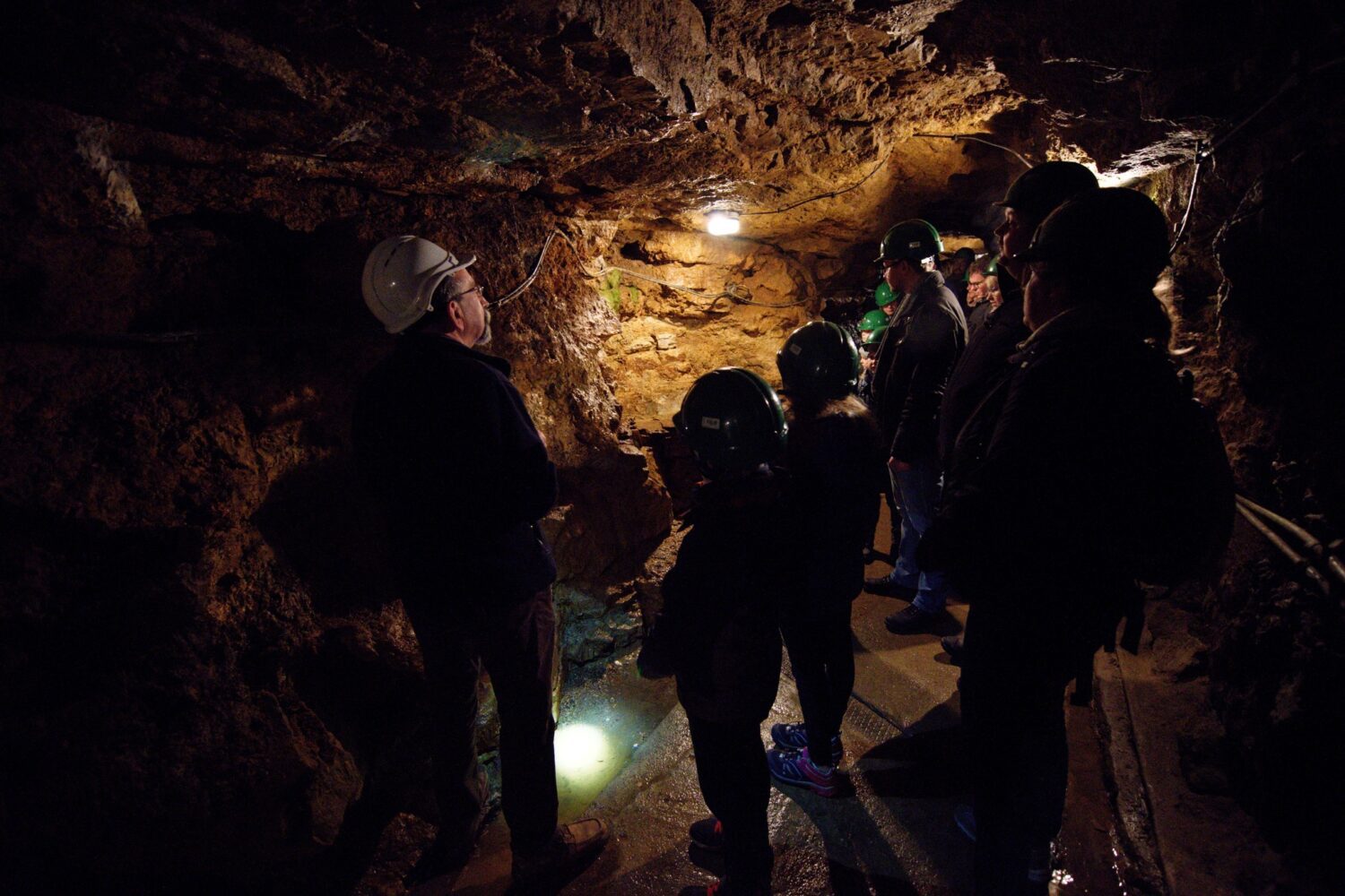
The mine is considered to be one of the most interesting and valuable monuments of the industrial heritage of the region. The mine is open for tourists to visit and there are several different tours available, including a guided tour of the underground mine, which takes visitors through the mine's various levels and chambers, and provides an insight into the life of the miners and the working conditions underground. There are also surface tours which allow visitors to explore the mine's buildings and see the equipment used in the mining process.

Tarnowskie Góry

15th and 16th centuries

A mining settlement and the first silver-bearing ore mines emerged in the region at the turn of the 15th and 16th centuries, today the mine and neighbouring Black Trout Adit are just remnants of a bygone silver mining industry.

During the mid-1930s, the idea to make part of Tarnowskie Góry suitable for tourists was first considered but was put on hold due to the outbreak of World War II.

Tarnowskie Góry

Black Trout Adit

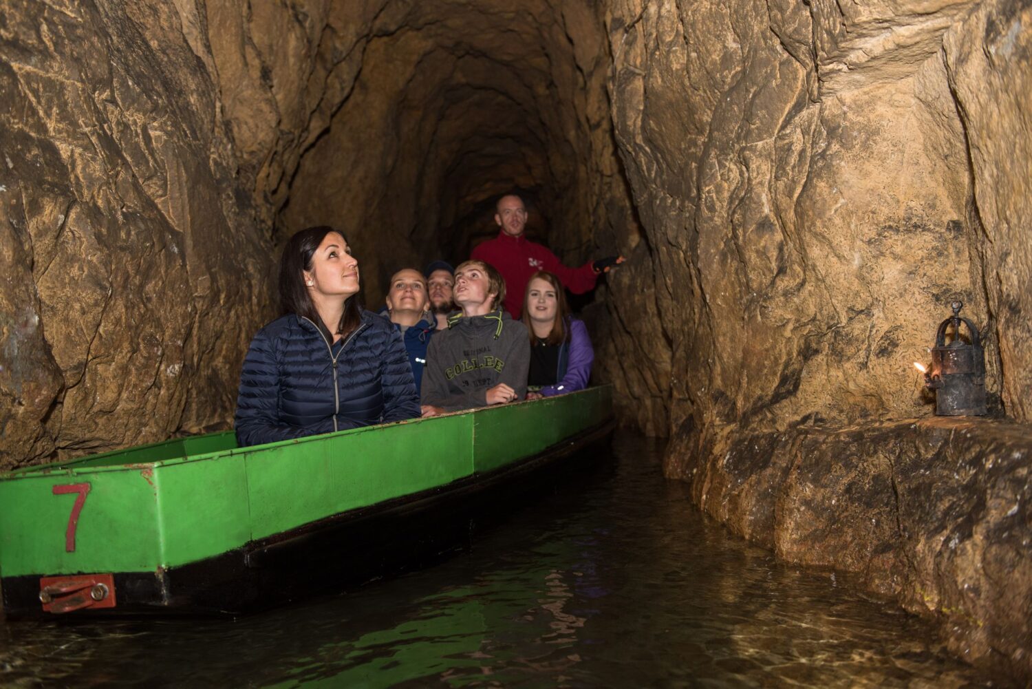
The Tarnowskie Góry Land Lovers Association was founded in the 1950s to look at the feasibility of opening up a tourist route; which led to part of the drainage system called Black Trout Adit being opened to visitors in 1957. For a long time, this was the longest underground boat tour in Poland.

Tarnowskie Góry

Angel, God Bless and Viper

Due to safety concerns, it took a while for a tourist route to be opened within the corridors of the mine itself but eventually in September 1976, the route between shafts: Angel, God Bless and Viper were opened for tourists.

Historic Monument

The mine was declared a Historic Monument by the president of Poland in 2004 and has been a part of the European Route of Industrial Heritage since 2014. The mine and its Underground Management System were inscribed to the UNESCO Heritage List in July 2017.

Underground attraction

Museum

One of the most interesting feature of the mine is the fact that it has been turned into a museum, and it is one of the most unique underground mines of the kind in Europe. it offers an exhibition of mining equipment, interactive galleries and a multimedia presentation on mining history. You will also have the opportunity to see how the miners used to live, with a special historical presentation of the underground housing areas, the history and culture of the Silesia region.

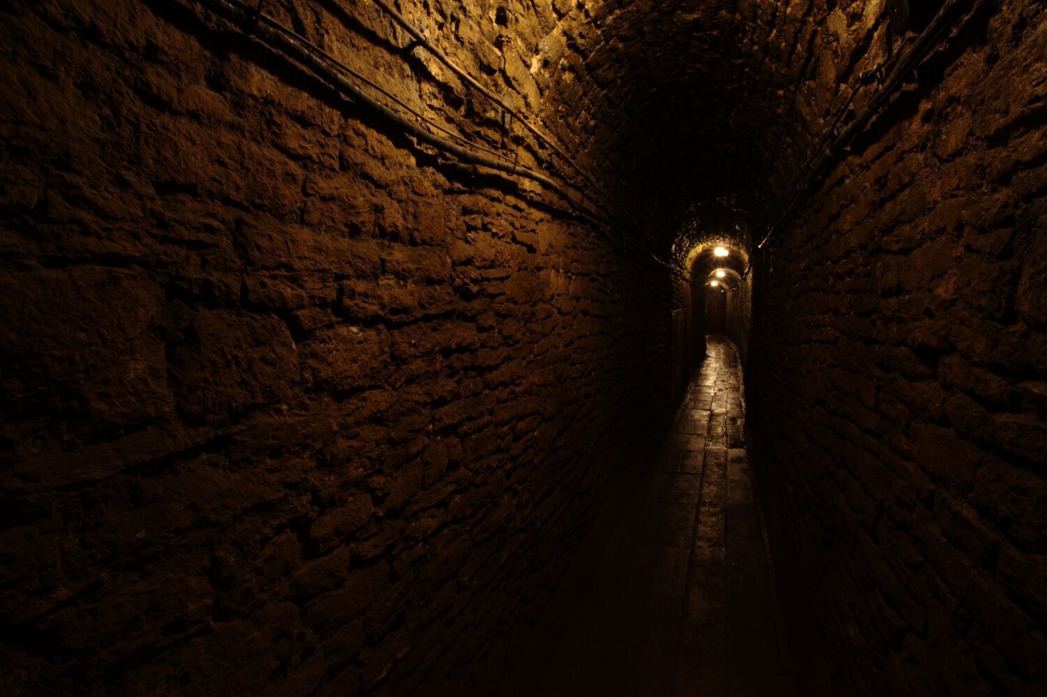
The mine is usually open for tourists with guided tours in several languages. The tour begins in a museum and then goes underground to visit corridors from the 18th and 19th centuries. The underground tourist route is 1,740m long, including 270m travelled in a boat through the flooded corridor. The route includes audio effects such as the sounds of miners working, running carts and blasting works.

Visitors can also learn about the history of the mine, from its origins to the modern period, as well as the geology of the area, the mining techniques used, and the environmental impact of mining. The mine also features a souvenir shop and a café.

Overall, the Tarnowskie Góry Mine is a fascinating and educational experience, that provide visitors with a unique glimpse into the history and culture of the Silesia region, and the lives of the miners who worked there.

FAQ

Q: What is Tarnowskie Góry Mine?

A: The mine is a former coal mine that operated from the late 19th century until 1996. It is located in the town of Tarnowskie Góry in southern Poland and it is considered a valuable monument of the industrial heritage of the region. The mine has been turned into a museum open for visitors, offering tours and exhibitions on the history and culture of mining in the area.

Q: What are some of the things you can see on a tour of the mine?

A: Visitors can take an underground tour of the mine, which takes them through the mine's various levels and chambers and provides an insight into the life of the miners and the working conditions underground. There are also surface tours available, which allows visitors to explore the mine's buildings and see the equipment used in the mining process. Visitors can also learn about the history of the mine, from its origins to the modern period, as well as the geology of the area, the mining techniques used, and the environmental impact of mining. The mine also features a museum, with exhibitions about the history of mining and the lives of the miners, as well as a souvenir shop and a café.

Q: How long does a tour of Tarnowskie Góry Mine last?

A: The duration of the tour will depend on the type of tour you choose. The underground tour typically lasts about an hour and a half, while the surface tour will last about an hour.

Q: Is the Tarnowskie Góry Mine tour safe?

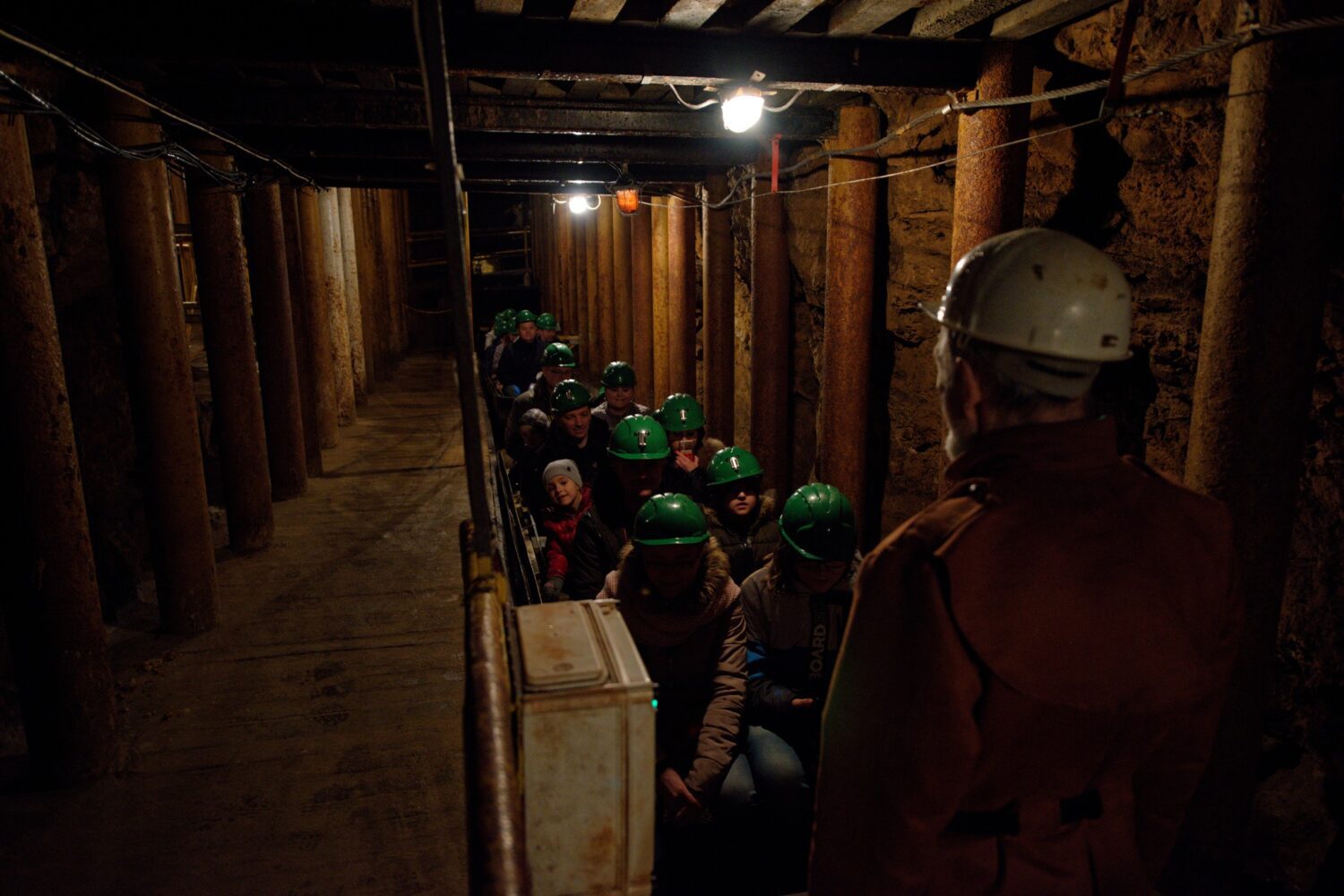
A: Safety is a top priority at the mine, and all tours are guided by experienced and trained guides. Visitors are provided with hard hats and lamps, and are required to follow the guide's instructions at all times. The underground tour is also suitable for children over 7 years old, but it's worth to check the information on the website before planning your visit.

Q: Are there any special requirements for visiting?

A: Some tours may have height or age restrictions, or may require visitors to be in good physical condition. You should check the information on the official website or contact the mine directly to see if there are any specific requirements for the tour you're interested in.

Q: Are there any nearby attractions to the mine?

A: Yes, the town of Tarnowskie Góry is home to several other notable attractions, including:

  • The Tarnowskie Góry Silver Mine, which was an important silver mining site in the region.
  • The Tarnowskie Góry City Hall, which is a beautiful Renaissance building.
  • The St. Ann's Church, which is a beautiful baroque church located in the town center.
  • The Tarnowska Gallery, which is home to a collection of modern and contemporary art.
  • The Silver Mountain, a hill overlooking the city, offering a beautiful view of the region and the opportunity for a hike.

Visit the official website

Tours

Guido Coal Mine

Guido Coal Mine & Museum

Guido Coal Mine – updated 13 January 2023.

The Guido Coal Mine, also known as the Guido Shaft or the Guido underground mine, was located in the city of Zabrze in southern Poland. It was one of the oldest and largest coal mines in the Upper Silesian Coal Basin. The mine began operation in the mid-19th century and was in continuous operation until it closed in 2001.

During its operation, it was considered one of the most important industrial sites in the region and a major employer in Zabrze. The mine’s Guido shaft, which was built in the late 19th century, was one of the deepest in Europe and reached a depth of over 1,100 meters. The mine was a major contributor to the local economy and had a significant cultural and historical impact on the region.

Guido Henckel von Donnersmarck

The mine gets its name from the founder, Guido Henckel von Donnersmarck who opened the mine in 1855.

Museum

Today, the mine is a museum and has been designated as an object of cultural heritage and a cultural monument in Poland. Two levels of Guido Coal Mine are open to visitors with depths of 170m and 320m below ground level, which makes it the deepest visitor mine in Europe. The underground museum is located at the deepest level.

Guido Coal Mine

Berlin hoisting machine

Visitors are transported down the shaft at a speed of 4m/s in an original Berlin hoisting machine dating from 1927. At the 170m level, there are chambers and galleries containing tools, rescue equipment and perfectly preserved horse stables, which are more than 100 years old.

At this level, visitors learn about the history of Silesian mining and the coal extraction methods which were used and also the role that horses played in the history of mining. On this level you will also find St. Barbara’s chapel.

Attractions

At 320m below ground, attractions include; a ride in a suspended railway, operational mining machines and a pub.

On this level, you are able to see simulations of mining disasters and visit an exhibition dedicated to the politically repressed soldier-miners of the 1950s who were youngsters forced to work underground instead of doing military service.

The Pub

The pub is the deepest drinking establishment in Europe and you are able to purchase Guido Beer, brewed locally in Gliwice and available as a lager or a stout.

Guido Coal Mine

Steep & dark

At times, the route can be steep and dark and visitors must wear a protective helmet at all times, flat shoes are recommended. The route is 3.5km long and takes around 2 ½ hours. The temperature underground is between 13 and 16 degrees Celsius regardless of season.

Visit the Guido Coal Mine website.

Bochnia Salt Mine

12th Century Salt Mine

Bochnia Salt Mine – updated 10 January 2023

Established between the 12th and 13th centuries, the Bochnia Salt Mine, is one of the oldest salt mines in the world and the oldest commercial company in Poland. The mine stopped producing salt in 1990 at which time, it became a tourist attraction. In 2013, a multimedia aspect was added to the tourist route, which spans two kilometres in length.

Bochnia Salt Mine

Underground mining train

The complex offers four different routes for visitors. Among the mine’s attractions, there is the underground mining train that transports tourists along the tourist route, a 140m slide connecting two levels of the mine, and an underground boat crossing.

National Historic Monument

Bochnia Salt Mine is one of Poland’s official national Historic Monuments and has also been added to the UNESCO World Heritage List as an extension of the Wieliczka Salt Mine inscription.

The history of salt extraction in the Bochnia region dates back to 3,500 years B.C. Prior to mining, salt was acquired by evaporating water from brine.

What to see

There’s a lot to see within the mine including historical mining tools and equipment, galleries, chambers and a chapel with train tracks running through it.

The two main parts of Bochnia Salt Mine are the August Passage and the Ważyn Chamber.

The August Passage

The August Passage is the main communication and transportation route in the mine, running from east to west and connecting the Campi and Sutoris mine shafts. The Passage has a depth ranging from 176m to 212m and is nearly 3km in length.

The Ważyn Chamber, which has no supporting pillars, is the biggest chamber in the mine and can be found at a depth of 248m. It is 255m long, 14.4m wide and has a maximum height of 7.2m.

FAQ

Here are some common questions and answers that you might find helpful:

Q: Where is the Bochnia Salt Mine located?
A: The Bochnia Salt Mine is located in the town of Bochnia, which is about 40 kilometers east of Krakow, in southern Poland.

Q: How old is the mine?
A: The Bochnia Salt Mine has been in operation since the 13th century, making it one of the oldest mines in the world.

Q: What is the history of the mine?
A: The mine has a long and rich history. It was first opened in the 13th century and was in continuous operation until 2007. During this time, it played an important role in the development of the town of Bochnia and was a major source of salt for the region.

Q: How deep does the mine go?
A: The mine extends to a depth of 327 meters (1,073 feet) below the surface.

Q: What can I see on a tour of the mine?
A: A tour of the mine will take you through a network of tunnels and chambers, where you can see the salt deposits, mining equipment, and the beautiful chapels that have been carved out of the salt. You’ll also learn about the history of the mine and the people who have worked there.

Q: Is the mine open to visitors?
A: Yes, the mine is open to visitors and guided tours are available. Visitors should take note that the mine is not accessible for people with disabilities, it is not allowed to take big bags, food and drink, or selfie sticks.

Q: How long does a tour of the mine last?
A: A typical tour of the mine lasts about 1.5-2 hours.

Q: Are there any special requirements to visit the mine?
A: Visitors should be aware that the mine can be quite chilly (around 10-12 degrees C), even during the summer months, so it’s a good idea to wear warm clothing. Comfortable shoes are also recommended as you will be walking on uneven surfaces.

Q: Are there any other things to do in the area?
A: In the surrounding area of Bochnia, you’ll find plenty of things to do, including visiting the historic town center, the Bochnia Saltworks Museum, and the Bochnia Castle. There are also many hiking and biking trails in the surrounding countryside. Krakow, being quite close can be a great idea for visit as well.

Visit the Bochnia Salt Mine website.

Bochnia Salt Mine Tour

Highlights

  • Explore the oldest salt mine in Poland
  • Discover the oldest Bochnia mine workings
  • Learn what the work of medieval miners looked like
  • Stop in Tarnow, a charming little city
  • Visit Zalipie with picturesque little houses painted in flowery patterns

Description

After transferring from Krakow to Bochnia, you will experience the oldest salt mine in Poland. Complete with a beautiful underground chapel, you will explore the mine with your friendly English-speaking tour guide.

The mine features galleries which are filled with works of art and statues sculpted into salt. The mine itself was added to the UNESCO Heritage List back in 2013. Later, you will transfer to Tarnow, a charming little city with an originally preserved Old Town which dates back to the 18th century.

The final stop on your tour will be to Zalipie, a true pearl of rural Poland. Here you will discover picturesque little houses painted in flowery patterns, and visiting this small village will truly make you feel as if you have traveled through time. At the conclusion of your tour, you will transfer back to Krakow.

Wieliczka Salt Mine

Wieliczka Salt Mine

Updated 09 January 2023.

The Wieliczka salt mine is a UNESCO World Heritage site located around 14km southeast of Kraków and is one of Poland’s most popular attractions, welcoming tourists since 1722.

Wieliczka

Going underground

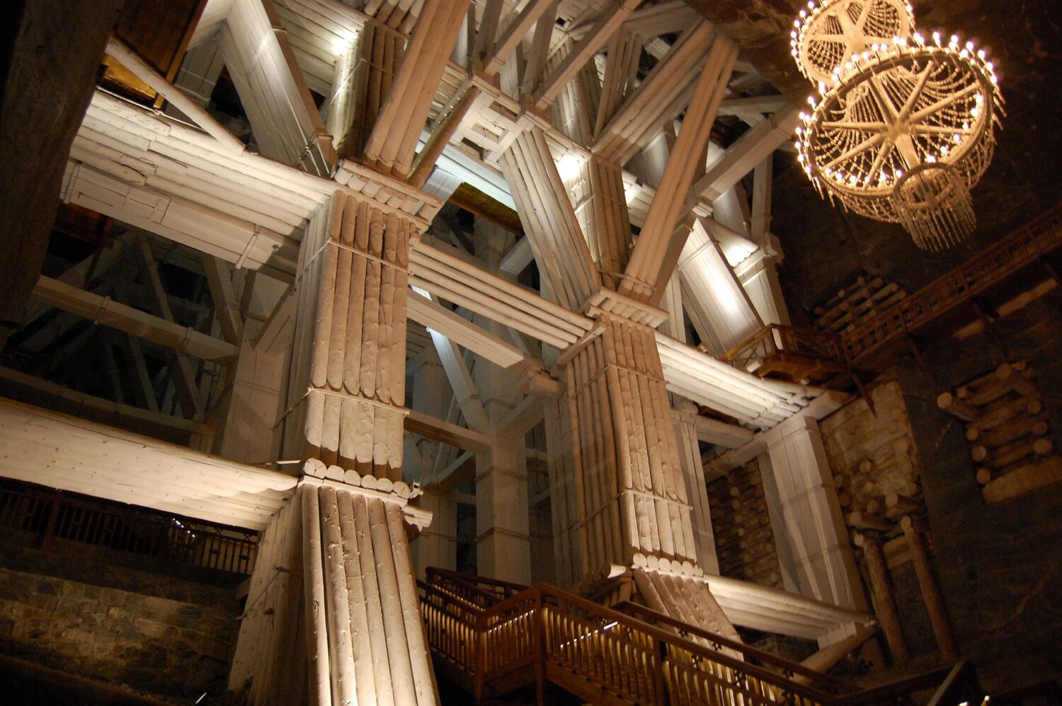
Wieliczka is a subterranean labyrinth of tunnels, shafts and chambers, underground saline lakes, chapels with altarpieces, majestic timber constructions and unique statues sculpted in rock salt. The size of the mine is staggering, it reaches a depth of 327m and extends via horizontal passages and chambers for over 287 km distributed over nine levels. Only a small part of the mine is open to the public.

Wieliczka Salt Mine Sculptures

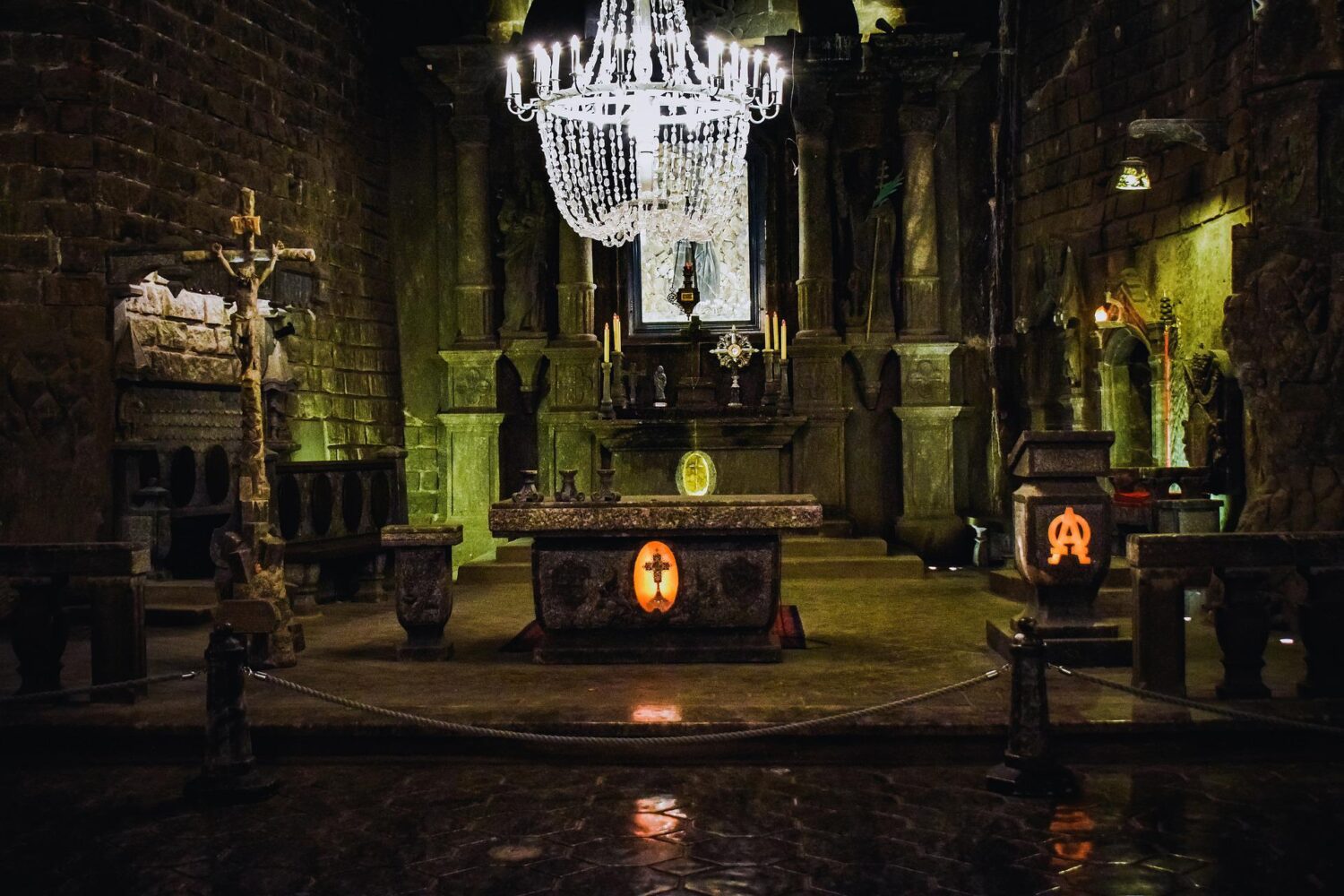
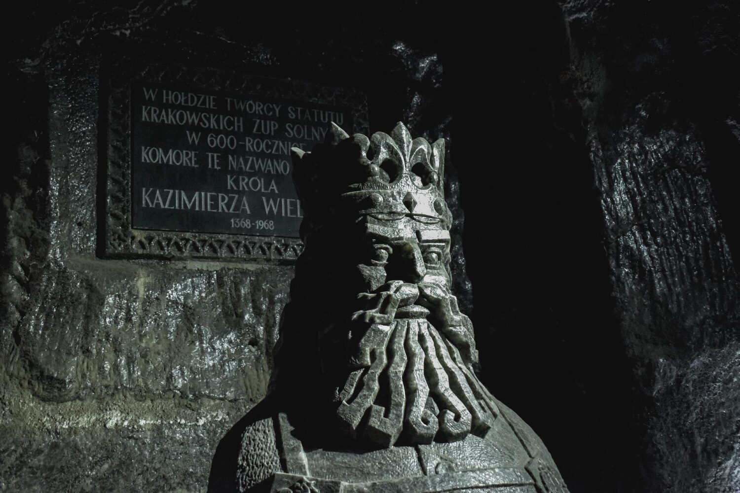
The oldest sculptures were carved out of rock salt by miners; more recent figures have been fashioned by contemporary artists. Even the crystals of the chandeliers are made from rock salt that has been dissolved and reconstituted to achieve a clear, glass-like appearance. The rock salt is naturally grey in various shades, so that the carvings resemble unpolished granite rather than the white or crystalline look that many visitors expect. The carvings may appear white in the photos, but the actual carved figures are not white.

Chapel of St Kinga

The highlight of the mine is a vast chamber housing the ornamented Chapel of St Kinga. Everything that you will see within the chamber is made from salt including altarpieces and chandeliers. It took over 30 years for three sculptors to complete this underground temple, and about 20,000 tonnes of rock salt had to be removed. The rock salt in the mine resembles unpolished granite and its natural colour is grey, not white as many people might expect.

Salt Mine

The older sculptures have been supplemented with new carvings made by contemporary artists.

Working mine

Historically, Wieliczka was a working mine; however due to falling salt prices and flooding, commercial salt mining was discontinued. The mine has produced salt since the 13th century and was one of the world’s oldest operating salt mines.

UNESCO World Heritage Site

Salt Lake

Other highlights are the Salt Lake in the Erazm Barącz Chamber, whose water is denser than the Dead Sea, and the awe-inspiring 36m-high Stanisław Staszic Chamber.

If you’re worried about the air quality down there, great news: the mine’s special microclimate actually has a beneficial effect on asthma sufferers and those with allergies!

UNESCO World Heritage Site

378 steps

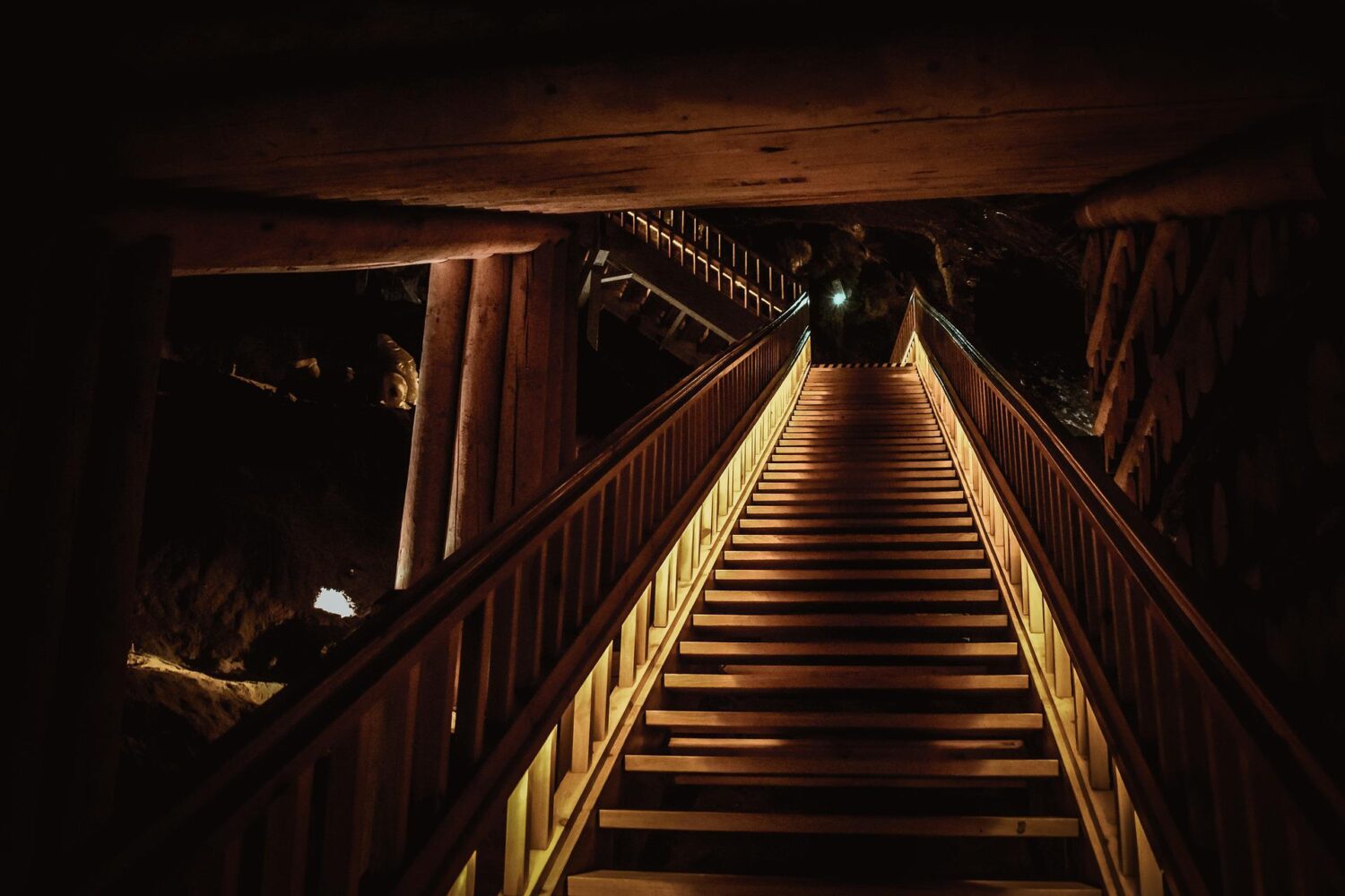
To get down to the 64-metre level of the mine, visitors must descend a wooden stairway of 378 steps. After the 3km tour of the mine’s corridors, chapels, statues and lake, 135 metres underground, visitors take an elevator back up to the surface. The elevator holds 36 persons (nine per car) and takes some 30 seconds to reach the surface.

Getting there

Getting to the Wieliczka Salt Mines from Krakow shouldn’t prove too difficult or expensive. Regular buses run from the top of Starowislna Street opposite the Main Post Office, taking around forty minutes to get there. Be warned that buses are a little cramped and we advise you check departure details at one of Krakow’s tourist information offices as these routes chop and change quite a bit. You’re best asking a friendly Pole where to get off too, as this is a public bus not a tourist service.

FAQ

Here are some frequently asked questions about the Wieliczka Salt Mine in Poland:

Where is the Salt Mine located?
The Salt Mine is located in the town of Wieliczka, which is about 15 km (9 miles) southwest of Krakow, Poland.

What is the history of the Salt Mine?
The Wieliczka Salt Mine has a long history dating back to the 13th century. It was one of the first salt mines in Europe to be converted into a tourist attraction, and it has been a popular tourist destination since the 19th century. The mine is a UNESCO World Heritage Site and has been recognized as one of the most valuable cultural and natural assets in Poland.

Is the Salt Mine open to the public?
Yes, the mine is open to the public. It is one of the most popular tourist attractions in Poland, and it attracts over 1 million visitors each year.

Is there a cost to visit the Wieliczka Salt Mine?
Yes, there is a fee for visitors to enter the Salt Mine. The cost of admission varies depending on the type of tour you choose and the time of year you visit.

Are there guided tours of the Wieliczka Salt Mine?
Yes, guided tours of the Salt Mine are available for visitors. The tours are offered in a variety of languages, including English, and they take visitors through the underground tunnels and chambers of the mine.

Is the Wieliczka Salt Mine wheelchair accessible?
The mine is partially wheelchair accessible. Some areas of the mine are only accessible by stairs, but there are also some areas that can be accessed by elevator. It is recommended to contact the mine in advance to inquire about specific accessibility details.

Wieliczka Salt Mine Tours & Experiences